Le contenu de Alexhike a été migré vers Hikster
NOUVEAU
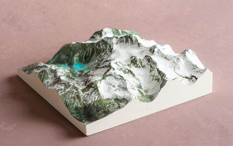
Prolongez le souvenir de vos randonnées d'exceptionNous transformons votre aventure en une carte 3D Haute-Définition
 En savoir plus
Distances et altitudes
Type
BoucleDistance
0.01kmElevation +
-Elevation -
-Point le + haut
822 mPoint le + bas
822 mActivités
| Activité | Durée estimée | Difficulté |
|---|---|---|
| Raquette | 3h30 | Modéré |
Météo
Voir la météo complète : Température, vent, pluie, neige, …. Et même les caméras à proximité
A propos
Le départ s'effectue du Centre d'interprétation et de services. Cette randonnée pour toute la famille vous mènera au belvédère du Mirador. Vous pourrez alors contempler la majesté du massif et admirer en surplomb les nombreux méandres de la rivière Valin ainsi que l'étang Bélanger.Voir la page de description: PARC NATIONAL DES MONTS-VALIN
pour y trouver les horaires d'ouverture, tarifs, régles de vie et les autres sentiers disponibles.