Le contenu de Alexhike a été migré vers Hikster
NOUVEAU
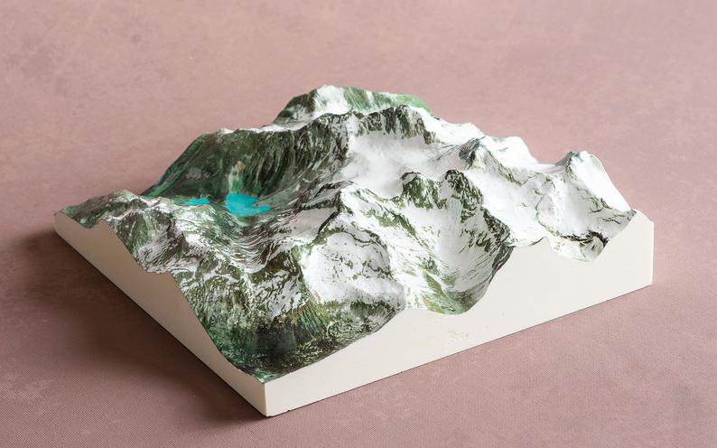
Prolongez le souvenir de vos randonnées d'exceptionNous transformons votre aventure en une carte 3D Haute-Définition
 En savoir plus
Distances et altitudes
Type
BoucleDistance
4.07kmElevation +
60 mElevation -
-60 mPoint le + haut
450 mPoint le + bas
390 mActivités
| Activité | Durée estimée | Difficulté |
|---|---|---|
| Rando | 1h30 | Débutant |
| Raquette | 2h30 | Modéré |
Météo
Voir la météo complète : Température, vent, pluie, neige, …. Et même les caméras à proximité
A propos
Sentier en boucle d'environ 4km vous emmenant à la crois du Lac caché et à un point de vue.
Voir la page de description: SENTIER CROIX
pour y trouver les horaires d'ouverture, tarifs, régles de vie et les autres sentiers disponibles.