Le contenu de Alexhike a été migré vers Hikster
NOUVEAU
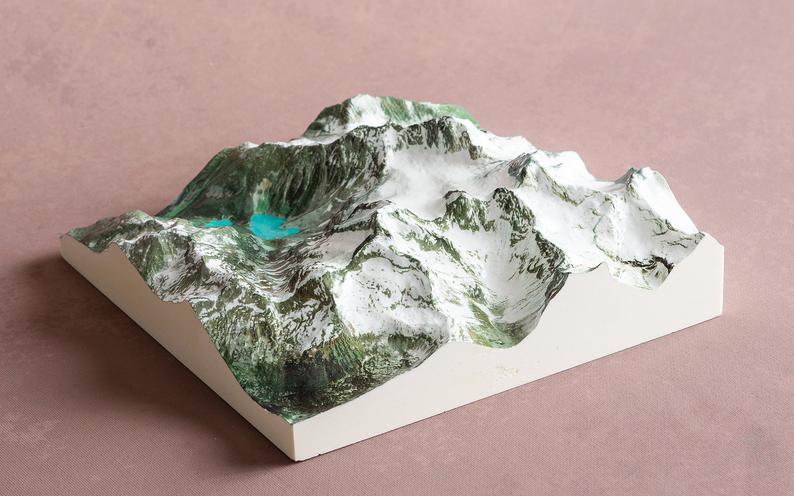
Prolongez le souvenir de vos randonnées d'exceptionNous transformons votre aventure en une carte 3D Haute-Définition
 En savoir plus
Distances et altitudes
Type
Aller simpleDistance
17.14kmElevation +
-Elevation -
-Point le + haut
-Point le + bas
-Activités
| Activité | Durée estimée | Difficulté |
|---|---|---|
| Vélo de montagne | 2h15 | Intermédiaire |
Météo
Voir la météo complète : Température, vent, pluie, neige, …. Et même les caméras à proximité
A propos
Parcours de vélo de montagne.
Pour terminer ce parcours, vous avez le choix entre revenir sur vos pas ou terminer via les sentiers partagé vélo/piéton Kiwanis ou Hydro.
Voir la page de description: PARC RÉGIONAL OBALSKI
pour y trouver les horaires d'ouverture, tarifs, régles de vie et les autres sentiers disponibles.