Le contenu de Alexhike a été migré vers Hikster
NOUVEAU
Prolongez le souvenir de vos randonnées d'exceptionNous transformons votre aventure en une carte 3D Haute-Définition
 En savoir plus
Distances et altitudes
Type
Aller simpleDistance
1.93kmElevation +
-Elevation -
-5 mPoint le + haut
13 mPoint le + bas
8 mActivités
| Activité | Durée estimée | Difficulté |
|---|---|---|
| Rando | 0h30 | Débutant |
Météo
Voir la météo complète : Température, vent, pluie, neige, …. Et même les caméras à proximité
A propos
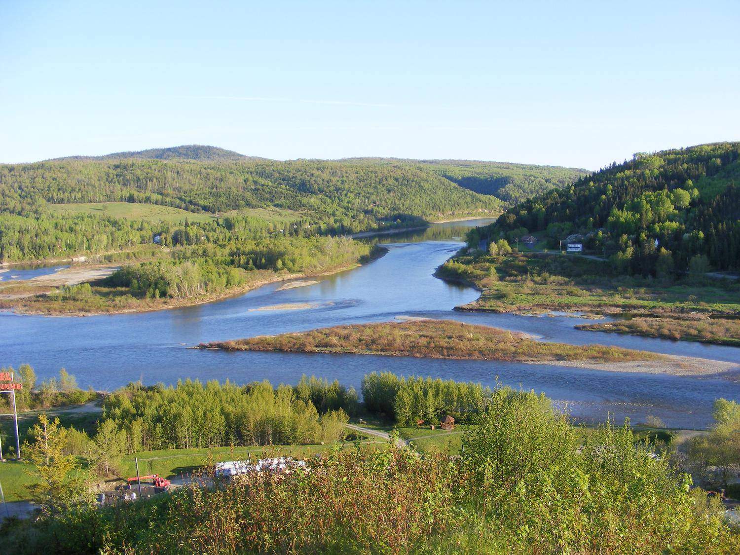
Vous avez fait beaucoup de route pour vous rendre jusqu'à Matapédia.
Vous êtes dans le secteur Avignon du SIAT-Qc
Cette première journée, de 3 km seulement, vous permet de rejoindre le camping et abri de matapédia.
Pour la suite : 102 - JOUR 2 - SIAT-QC
Crédit photo : Marjolaine B. | Date=2010-01-25
Voir la page de description: SENTIER INTERNATIONAL DES APPALACHES (LONGUE RANDONNÉE)
pour y trouver les horaires d'ouverture, tarifs, régles de vie et les autres sentiers disponibles.
Hébergements à proximité
Galerie d'images